EVis: Visually Analyzing Environmentally Driven Events
Tinghao Feng, Jing Yang, Martha-Cary Eppes, Zhaocong Yang, Faye Moser
External link (DOI)
View presentation:2021-10-28T17:45:00ZGMT-0600Change your timezone on the schedule page
2021-10-28T17:45:00Z

Abstract
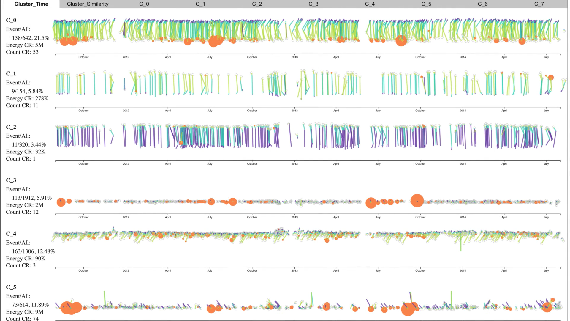
Earth scientists are increasingly employing time series data with multiple dimensions and high temporal resolution to study the impacts of climate and environmental changes on Earth’s atmosphere, biosphere, hydrosphere, and lithosphere. However, the large number of variables and varying time scales of antecedent conditions contributing to natural phenomena hinder scientists from completing more than the most basic analyses. In this paper, we present EVis (Environmental Visualization), a new visual analytics prototype to help scientists analyze and explore recurring environmental events (e.g. rock fracture, landslides, heat waves, floods) and their relationships with high dimensional time series of continuous numeric environmental variables, such as ambient temperature and precipitation. EVis provides coordinated scatterplots, heatmaps, histograms, and RadViz for foundational analyses. These features allow users to interactively examine relationships between events and one, two, three, or more environmental variables. EVis also provides a novel visual analytics approach to allowing users to discover temporally lagging relationships related to antecedent conditions between events and multiple variables, a critical task in Earth sciences. In particular, this latter approach projects multivariate time series onto trajectories in a 2D space using RadViz, and clusters the trajectories for temporal pattern discovery. Our case studies with rock cracking data and interviews with domain experts from a range of sub-disciplines within Earth sciences illustrate the extensive applicability and usefulness of EVis.