Mapping the Global South: Equal-Area Projections for Choropleth Maps
Gabriela Molina León, Michael Lischka, Andreas Breiter
External link (DOI)
View presentation:2020-10-28T15:20:00ZGMT-0600Change your timezone on the schedule page
2020-10-28T15:20:00Z
Fast forward
Direct link to video on YouTube: https://youtu.be/uZK8qY_TxxA
Keywords
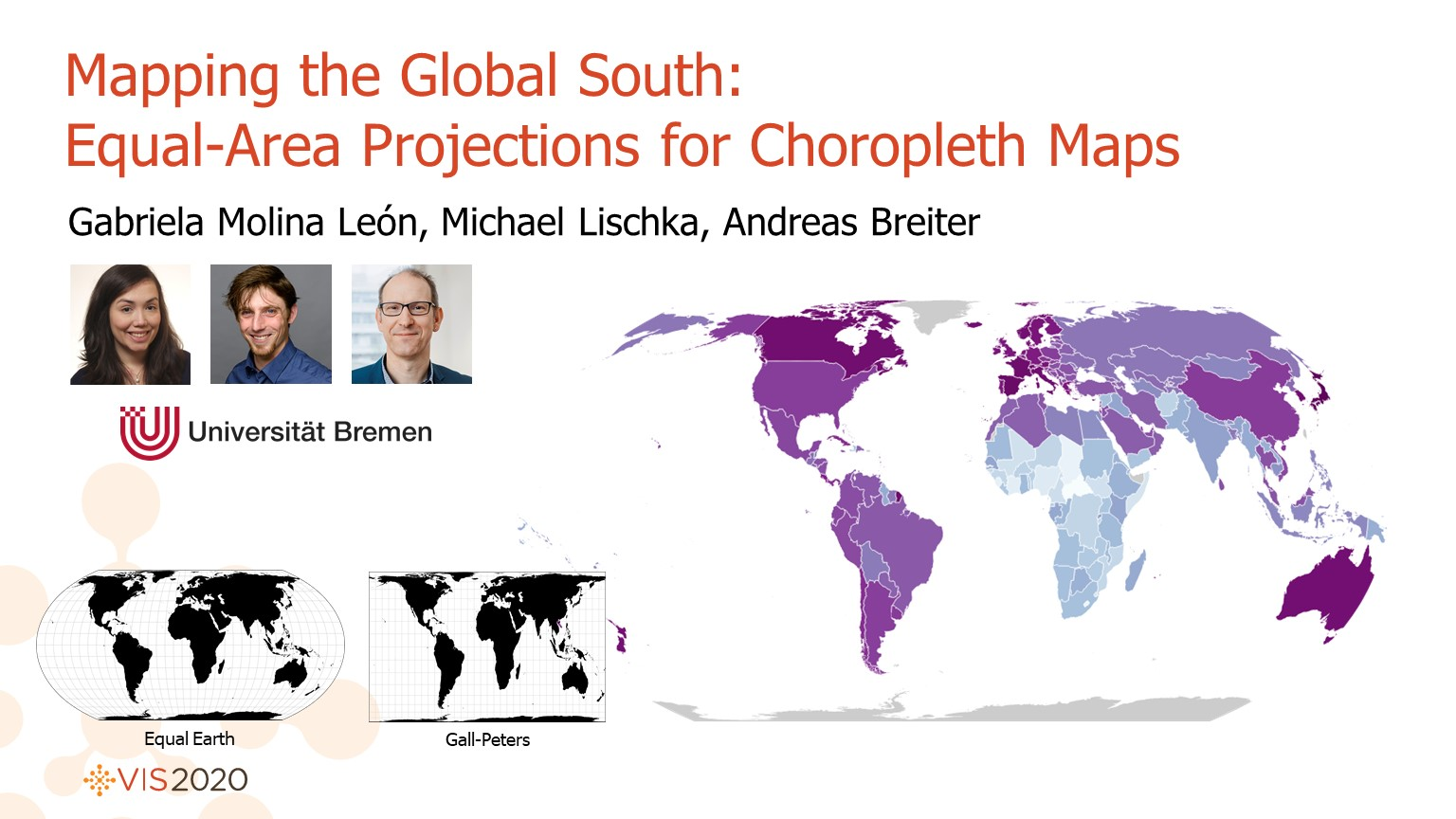
Choropleth maps, equal-area projections, social sciences.
Abstract
Choropleth maps are among the most common visualization techniques used to present geographical data. These maps require an equal-area projection but there are no clear criteria to select one. We collaborated with social scientists researching on the Global South, interested in using choropleth maps, to investigate their design choices according to their research tasks. We conducted a survey with 20 researchers where we asked them to design world choropleth maps. The results suggest that the design choices of projection, map center, scale, and color scheme, were influenced by the personal research goals and the tasks. The map projection was considered the most important choice and the Equal Earth projection was the most common projection used. Our study takes the first step on investigating projection choices for world choropleth maps in applied visualization research.